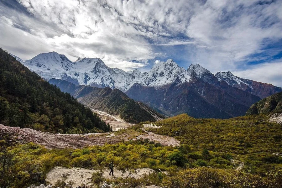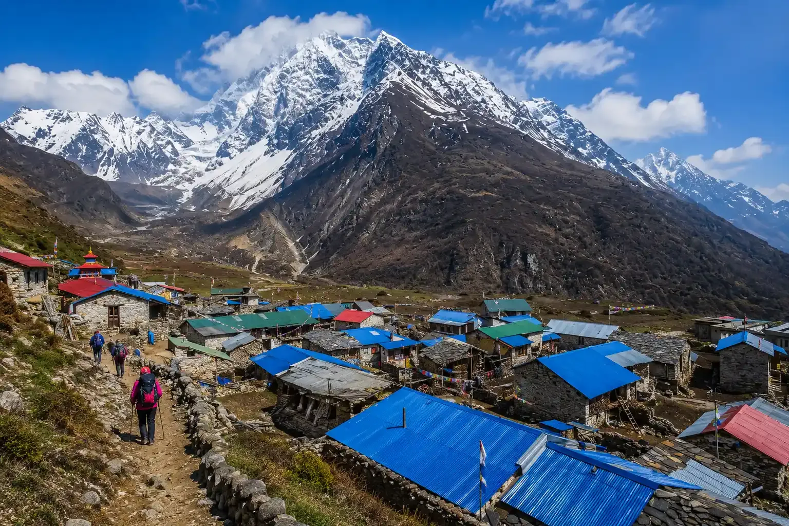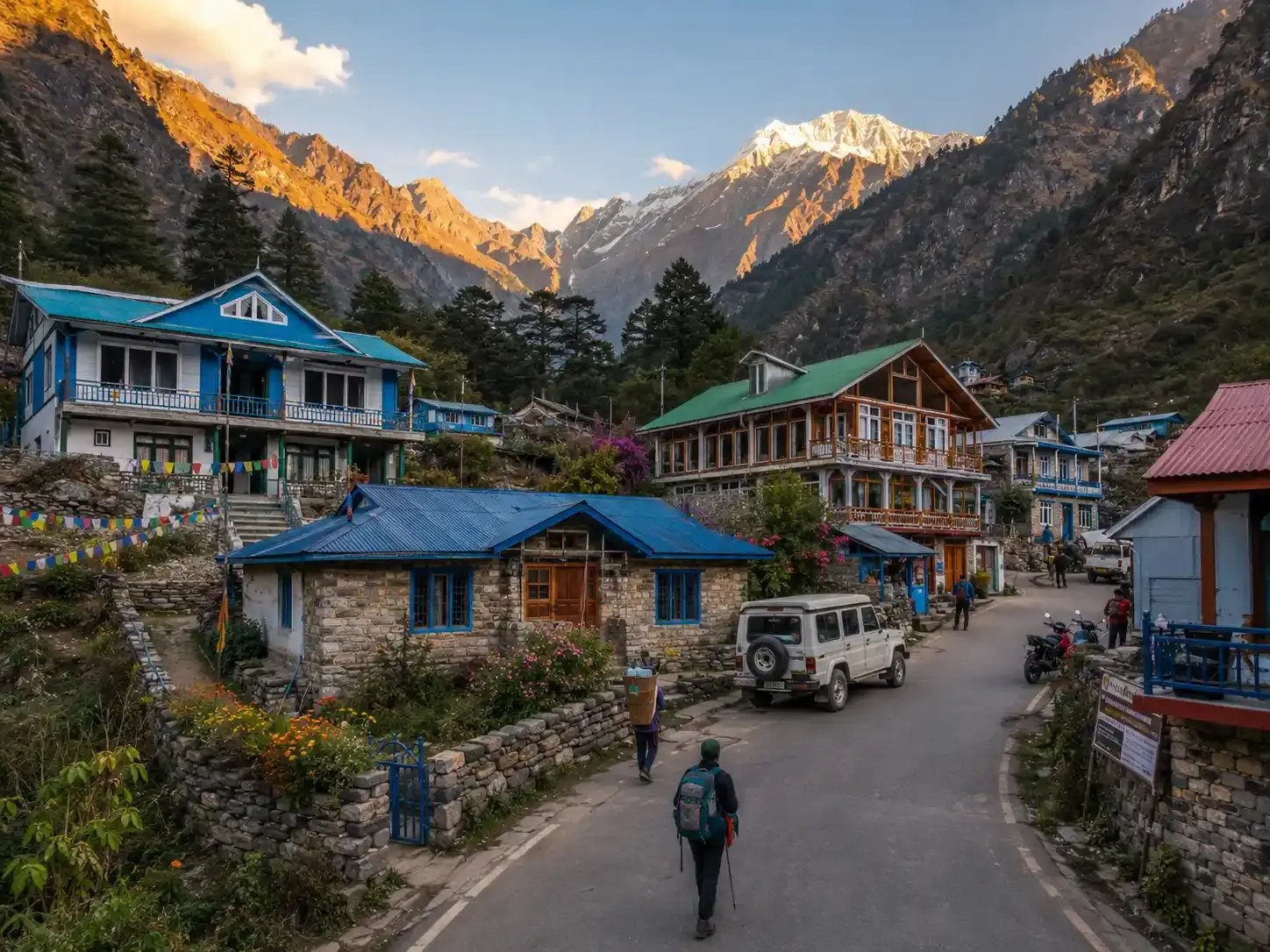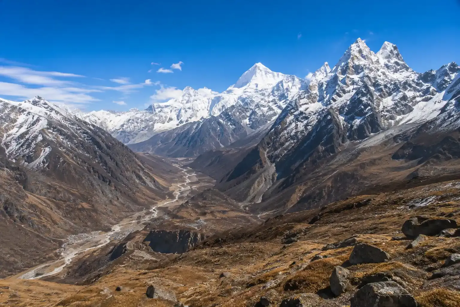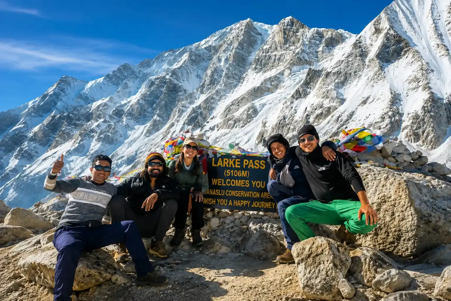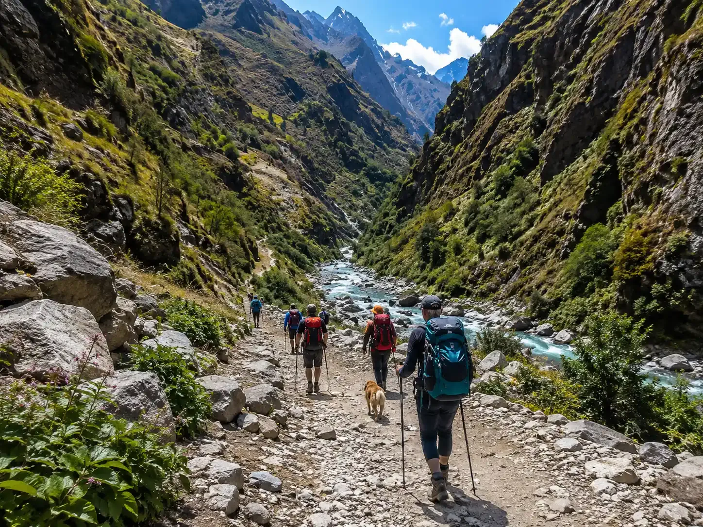
The Manaslu Circuit Trek covers approximately 177 kilometers (110 miles) of actual trekking, starting from Machha Khola and ending at Dharapani. Most trekkers complete the route in 13-14 days, which provides enough time for proper acclimatization while keeping a comfortable pace. The trek’s highest point is Larkya La Pass (5,106 m / 16,752 ft), one of Nepal’s most spectacular high mountain passes.
If you’ve seen different distance figures such as 143 km, 177 km, or even 200 km, you’re not alone. These variations come from different starting and ending points, side trips, GPS tracking methods, and whether driving sections are included. In this guide, you’ll find the actual trekking distance for each day, understand why the 13-day itinerary is the most practical choice for most trekkers, and get a clear picture of what to expect in terms of daily walking distance, elevation gain, and trekking time.
See our Manaslu Circuit trek map, and for detailed elevation profiles and teahouse schedules, see our Manaslu Circuit Trek itinerary.
Table Of Contents
- 1. Manaslu Circuit Trek Distance & Duration
- 2. Manaslu Circuit Itineraries: Difficulty
- 3. Our Available Trips in the Manaslu Region
- 4. Manaslu Circuit Trek Distance by Itinerary
- 5. Route-by-Route Distance & Trail Notes
- 6. Why the Distance Varies: Official vs. GPS vs. Real Walking Distance
- 7. The Longest Day: Larkya La Pass Distance Breakdown
- 8. Manaslu Circuit vs. Other Treks: Distance Comparison
- 9. Final Thoughts: Focus on Preparation, Not Just Kilometers
- 10. Frequently Asked Questions
Manaslu Circuit Trek Distance & Duration
- Total walking distance: 177 km (110 miles) for the standard route
- Standard duration: 13 days (10 walking days + 2 driving Days + 1 rest/acclimatization day)
- Longest walking day: ~16 km on the Larkya La Pass crossing (10 hours)
- Shortest walking day: 4–5 km on the approach to the pass (4–5 hours)
- Highest elevation: 5,106 m at Larkya La Pass
- Lowest trekking elevation: ~870 m at Machha Khola
- Driving distance: ~280 km round trip from Kathmandu to trailhead and back
- 13-day versions add an unnecessary rest night on the descent; 16-day versions add a Manaslu Base Camp overnight; 18-day versions combine the trek with Tsum Valley
Manaslu Circuit Itineraries: Difficulty
Trail maps don’t always tell the full story. While distances vary, the real difficulty lies in how much time you give your body to acclimatize. Here is an honest breakdown of the four most common Manaslu itineraries.
- The Manaslu Circuit 13-Day Trek (The Best Choice)
- Stats: ~160 km | 5–7 hrs/day | Difficulty: Hard
This is the perfect balance. You get the rest of the days needed to adjust to the high altitude, but you skip the boring parts at the end. After crossing the pass, you walk down for two days, catch a jeep, and head back.
- The Manaslu Circuit 16-Day Trek (The Slow Pace)
- Stats: ~170 km | 4–6 hrs/day | Difficulty: Medium
Tour companies often push this to make extra money. Unless you have bad knees or want a very slow pace, avoid this. The extra days at the end force you to walk on dusty roads while jeeps drive right past you.
- The Manaslu Circuit 10-Day Trek (Beyond the Limits)
- Stats: ~140 km | 8–10 hrs/day | Difficulty: Very Hard
People in a hurry try to rush and skip rest days. This is a huge mistake. Many of these trekkers get very sick from the high altitude and need to be rescued by a costly helicopter.
- Manaslu Circuit + Tsum Valley 18-Day Trek
- Stats: ~230+ km | 6–8 hrs/day | Difficulty: Very Tiring
Tsum Valley is beautiful, but walking for 18 days is exhausting. By the second week, you will feel very tired. You need a strong mind, not just strong legs, to finish this long trip.
Which Should You Choose?
For most trekkers, the 13-day Manaslu Circuit Trek offers the best balance of adventure and acclimatization. Choose the 16-day itinerary for a more relaxed pace, the 10-day option only if you’re an experienced high-altitude trekker, and the 18-day Manaslu & Tsum Valley Trek if you want a deeper cultural experience.
Whichever itinerary you choose, Himalaya Hub Adventure provides licensed guides, permit support, and reliable local service to help you enjoy a safe and unforgettable trek.
Our Available Trips in the Manaslu Region
| Trip | Starting Price | Group Discount | Availability |
| Manaslu Circuit Trek – 13 Days | US$940 | Available | Check Availability |
| Manaslu Circuit Trek – 16 Days | US$1,290 | Available | Check Availability |
| Tsum Valley & Manaslu Circuit Trek – 18 Days | US$1,130 | Available | Check Availability |
| Manaslu & Annapurna Circuit Trek – 18 Days | US$1,130 | Available | Check Availability |
Tell us your travel plans and we’ll create a personalized itinerary based on your budget, interests, and schedule.
Manaslu Circuit Trek Distance by Itinerary
Total walking distance: 160–177 km (99–110 miles) for the standard 13-day route
13-Day Itinerary Distance Breakdown:
| Segment | Distance | Duration |
| Day 1: Kathmandu to Machha Khola (drive) | 160 km | 7–8 hours |
| Day 2: Machha Khola to Jagat | 22 km | 6–7 hours |
| Day 3: Jagat to Deng | 19–22 km | 6–7 hours |
| Day 4: Deng to Namrung | 18–20 km | 7–8 hours |
| Day 5: Namrung to Lho | 10 km | 4–5 hours |
| Day 6: Lho to Samagaon via Pungyen Gompa | 14–16 km | 6–7 hours |
| Day 7: Samagaon (rest/acclimatization) | 8–10 km (optional Base Camp hike) | 4–5 hours |
| Day 8: Samagaon to Samdo | 8–10 km | 4–5 hours |
| Day 9: Samdo to Dharmashala | 4–5 km | 3–4 hours |
| Day 10: Dharmashala to Bimthang via Larkya La | 16 km | 9–10 hours |
| Day 11: Bimthang to Gho | 13–14 km | 5–6 hours |
| Day 12: Gho to Dharapani | 10–12 km | 4–5 hours |
| Day 13: Dharapani (1,700 m) → Besisahar (760 m) → Kathmandu (1,324 m) | 120 km | 5–6 hours |
16-Day Itinerary Distance Breakdown:
| Day | Route | Distance | Time |
| Day 1 | Arrival in Kathmandu | 5–7 km | 1–2 hrs |
| Day 2 | Kathmandu Valley Sightseeing | 25–45 km | 6–8 hrs |
| Day 3 | Kathmandu → Soti Khola (Drive) | ~126–145 km | 7–8 hrs |
| Day 4 | Soti Khola → Machha Khola | 14 km | 5–7 hrs |
| Day 5 | Machha Khola → Jagat | 19–22 km | 6–8 hrs |
| Day 6 | Jagat → Deng | 19–22 km | 6–7 hrs |
| Day 7 | Deng → Namrung | 16–19 km | 6–7 hrs |
| Day 8 | Namrung → Samagaun | 17–18 km | 6–8 hrs |
| Day 9 | Samagaun Acclimatization (Optional Hike) | 6–10 km | 4–7 hrs |
| Day 10 | Samagaun → Samdo | 5–8 km | 3–4 hrs |
| Day 11 | Samdo → Dharmashala | 6–12 km | 4–5 hrs |
| Day 12 | Dharmashala → Bimthang (via Larkya La Pass) | ~24 km | 8–10 hrs |
| Day 13 | Bimthang → Tilije | 20–26 km | 5–8 hrs |
| Day 14 | Tilije → Dharapani | 13–18 km | 5–7 hrs |
| Day 15 | Dharapani → Kathmandu (Drive) | 200–224 km | 8–10 hrs |
| Day 16 | Final Departure | 5–7 km | 30–60 min |
Elevation Profile:
- Highest elevation: 5,106 m at Larkya La Pass
- Lowest trekking elevation: ~870 m at Machha Khola
- Total elevation gain: Approximately 2,500+ m across the circuit
- Longest walking day: ~16 km on the Larkya La Pass crossing (9–10 hours)
- Shortest walking day: 4–5 km on the approach to the pass (3–4 hours)
Route-by-Route Distance & Trail Notes
Kathmandu to Machha Khola (~160 km drive)
This is a full day of travel by road, usually taking 7–9 hours by private jeep or 9–10 hours by local bus, depending on road conditions. The first half of the journey to Dhading Besi follows a smooth, paved highway, while the second half becomes a rough mountain road through terraced hills and the Budhi Gandaki valley. Since there is no airport in the Manaslu region, driving is the only way to reach the trailhead. During the monsoon, landslides and muddy road conditions frequently cause long delays, making the season an important factor when planning your trek.
Machha Khola to Jagat (~22 km)
This marks your first full day on the trail. Following the Budhi Gandaki River, you’ll cross several suspension bridges, pass waterfalls, and walk through traditional Gurung villages. Expect frequent short climbs and descents on rocky paths. Although some GPS tracks measure this section slightly shorter, around 22 km is a reasonable estimate for the full trekking day.
Jagat to Deng (~19–22 km)
Jagat marks the entrance to the Manaslu Restricted Area, where trekking permits are checked. Trekkers must carry a Restricted Area Permit (RAP), Manaslu Conservation Area Project (MCAP) Permit, and Annapurna Conservation Area Project (ACAP) Permit. The trail gradually climbs through pine forests, narrow gorges, waterfalls, and traditional villages before reaching Deng.
Deng to Namrung (~18–20 km)
Prepare for one of the biggest elevation gain days of the trek. You’ll climb through bamboo and rhododendron forests before entering the Tibetan-influenced upper valley. Prayer wheels, mani walls, and chortens become increasingly common, reflecting the area’s rich Buddhist culture.
Namrung to Lho (~11 km)
The valley begins to open as you leave Namrung, revealing spectacular mountain scenery. You’ll cross the 3,000 m mark before arriving in Lho (3,180 m), where you’ll enjoy your first breathtaking panoramic view of Mount Manaslu (8,163 m).
Lho to Samagaon via Pungyen Gompa (~14–17 km)
Without any detour, the walk from Lho to Samagaon is only about 9 km. However, many trekkers take the worthwhile side trip to Pungyen Gompa, increasing the day’s total distance to approximately 14–17 km. The monastery sits beneath the impressive east face of Manaslu and offers outstanding glacier and mountain views while keeping elevation gain relatively moderate.
Acclimatization Day in Samagaon (3,530 m)
This is an active acclimatization day rather than a complete rest day. Most trekkers hike to Manaslu Base Camp (4,800 m), an 8–10 km round trip, while others choose the easier hike to Birendra Lake (3,700 m), which is approximately 4–5 km round trip. These extra hikes help your body adapt to the altitude and are not included in the standard circuit distance.
Samagaon to Samdo (~8 km)
This is a short but important acclimatization stage. The trail follows a broad glacial valley as vegetation gradually disappears and the landscape becomes dry and alpine. Samdo is the last permanent village before Larkya La Pass and sits close to the Tibetan border.
Samdo to Dharmashala (Larkya Phedi) (~11–12 km)
Although this is not the longest day by distance, the high altitude makes it physically demanding. The trail climbs gradually across glacial terrain before reaching Dharmashala (4,460 m), also known as Larkya Phedi. This small seasonal settlement has only a few simple teahouses and serves as the final overnight stop before crossing the pass.
Dharmashala to Bimthang via Larkya La Pass (~24 km)
This is the most demanding day of the entire trek. Starting before sunrise, you’ll climb to Larkya La Pass (5,106 m) before descending steeply to Bimthang. The complete day’s walk is approximately 24 km and usually requires 8–10 hours. Snow, ice, strong winds, and thin air make this stage challenging, but the panoramic Himalayan views are among the finest in Nepal.
Bimthang to Gho (~13 km)
After crossing the pass, the trail descends through alpine meadows, rhododendron forests, and pine woodlands. The thicker air makes breathing noticeably easier, although the long downhill sections can be hard on the knees.
Gho to Dharapani (~8–10 km)
This is a relatively easy final trekking day. The trail continues through forests and small villages before reaching Dharapani, where the Manaslu Circuit joins the famous Annapurna Circuit. Most trekkers arrive by early afternoon and spend the night before driving back to Kathmandu.
Dharapani to Kathmandu (~190–200 km drive)
Your journey ends with a full-day drive back to Kathmandu. First, travel by local jeep from Dharapani to Besisahar over rough mountain roads, then continue on the paved Prithvi Highway by bus or private jeep. The total journey covers approximately 190–200 km and usually takes 8–10 hours, depending on road and traffic conditions.
Why the Distance Varies: Official vs. GPS vs. Real Walking Distance
If you’ve researched the Manaslu Circuit Trek distance, you’ve probably found several different totals. Each is based on a different method of measurement.
Official Itinerary Distance (~143–160 km)
Many trekking companies estimate distance by measuring between overnight villages. These figures usually exclude switchbacks, bridge approaches, lodge access paths, and acclimatization hikes. The older 143 km estimate comes from this simplified method.
GPS-Recorded Distance (~160–177 km)
GPS devices record the actual path you walk, including every climb, descent, zigzag trail, and short detour. For most trekkers following the standard itinerary, 160–177 km is the most realistic total walking distance.
Extended Routes with Side Trips (190–230 km)
Your total distance increases if you include optional side trips or longer itineraries.
- Manaslu Base Camp: +8–10 km
- Pungyen Gompa: +6–8 km
- Tsum Valley Extension: +50–70 km
These additional hikes are not included in the standard Manaslu Circuit distance but offer excellent acclimatization, cultural experiences, and spectacular mountain views.
Why the Trek Feels Longer Than the Number
On the Manaslu Circuit, distance alone does not reflect the challenge. High altitude, steep climbs, and rocky terrain make each kilometer far more demanding. A 20 km day above 4,000 meters can feel like 30–35 km on flat terrain, which is why the Manaslu Circuit Trek is considered a challenging trek despite being shorter than the full Annapurna Circuit.
Plan for 177 km of walking, but prepare for the physical strain of 250 km.
The Longest Day: Larkya La Pass Distance Breakdown
The crossing from Dharmashala to Bimthang is the single most demanding day of the trek. Here is exactly how that 16 km breaks down:
- Dharmashala to Larkya La summit: 6–7 km uphill, taking 3–4 hours.
- Larkya La summit: 5,106 m. Views of Manaslu, Himlung Himal, and Annapurna II.
- Summit to Bimthang: 9–10 km downhill, taking 4–5 hours.
- Total moving distance: ~16 km
- Total moving time: 9–10 hours
(Note: Some alternate itineraries quote the pass day as 24–25 km because they skip Dharmashala and start the count all the way from Samdo, combining Day 9 and Day 10. In our 13-day schedule, the pass crossing is a focused ~16 km effort).
Why It Feels Like 30 km: You start before dawn in sub-zero temperatures. The air at 4,500+ m contains roughly half the oxygen of sea level. Most trekkers average 1.5 to 2 km per hour on the ascent. The subsequent 1,500 m+ vertical drop into Bimthang is brutal on the knees.
Manaslu Circuit vs. Other Treks: Distance Comparison
Here is how the Manaslu circuit trek distance stacks up against Nepal’s most popular routes.
| Trek | Distance | Duration | Highest Point | Key Difference |
| Manaslu Circuit | 160–177 km | 13-16 days | 5,106 m | Remote; no road bypasses; every km walked |
| Annapurna Circuit | 160–230 km | 14–20 days | 5,416 m | Roads allow skipping sections |
| Everest Base Camp | 130 km | 12–14 days | 5,545 m | Higher altitude, more crowded |
| Langtang Valley | 85 km | 6–8 days | 4,984 m | Shorter, closer to Kathmandu |
| Poon Hill | 51 km | 4–5 days | 3,210 m | Beginner-friendly |
Manaslu is longer than Everest Base Camp but shorter than the full Annapurna Circuit. However, because there are no motorable roads to bypass sections, you must walk every kilometer of the Manaslu route. This makes the 13-day commitment comparable to a 16-day Annapurna itinerary in terms of actual trail time. Study the Manaslu Circuit trek map alongside the Annapurna route to see why the trail feels more remote despite the lower kilometer count.
Final Thoughts: Focus on Preparation, Not Just Kilometers
The Manaslu Circuit trek distance is not the hardest part of the journey. The numbers160 km, 177 km, or even 200 km are just lines on a map. What matters is how your body responds to thin air, rocky trails, and long days above 4,000 meters. A 6 km day near Larkya La Pass can feel more exhausting than a 20 km day in the low valleys.
If you are preparing now, train for time on your feet, not just kilometers. Aim to comfortably complete back-to-back days of 15–20 km on hilly terrain with a loaded pack. If you can do that, the 13-day Manaslu circuit trek distance is well within your reach.
If you are comparing itineraries, the Manaslu Circuit Trek 13 Days is a great choice for trekkers who want a well-paced journey with enough time for acclimatization and a complete circuit experience. The Manaslu Circuit Trek 16 Days is ideal for those who prefer a slower itinerary, extra rest, and more time to explore side trips such as Annapurna Base Camp or Tsum Valley.
Choosing the right itinerary depends on your fitness level, trekking experience, and travel goals. With proper preparation, the Manaslu Circuit Trek offers breathtaking mountain views, rich Tibetan-influenced culture, and one of the most unforgettable trekking experiences in Nepal.
Explore More Manaslu Circuit Trek Guides
Manaslu Circuit Trek Cost: Budget & Price Guide
Food on the Manaslu Circuit Trek: Meals, Prices & Tips
Best Time for the Manaslu Circuit Trek: Complete Seasonal Guide
Manaslu Circuit Trek in Spring: Weather, Trails & Highlights
Manaslu Circuit Trek in Autumn: Weather, Views & Trekking Tips
Manaslu Circuit Trek in September: Weather & Trail Conditions
Manaslu Circuit Trek in October: Why It’s the Best Month to Trek
Manaslu Circuit Trek in November: Weather & Trekking Guide
Manaslu Conservation Area: Wildlife, Culture & Travel Guide
Reviews
We went to Nagarkot, did a saf…
We went to Nagarkot, did a safari in Chitwan, and went rafting by the Trishuli riverside. We also did a 5-day trek to Poon Hill and stopped at Jhinu for the hot springs. (It just take 3days to go to Poon hill, the remaining days is just chilling)
Our guide Shubash Bhattarai is a solid 10/10. He is super friendly and really knowledgeable. He shared a lot about the local culture, mountains, and wildlife along the way. If we come back to Nepal, we’ll definitely look for him again for our next trek.
He really made the whole experience even better. What started as having a guide ended up feeling like making a genuine friendship. His knowledge, kindness, and positive energy made every day enjoyable and stress-free.
I’ll definitely be back for another trek in Nepal, and I very much hope to have Ramit as my guide again. Highly recommend!
It was just the two of us for the entire trek, which made the experience feel …
@karan_lamichhane847 kept me moving (sometimes too fast lol) and made sure I …
Frequently Asked Questions
How many kilometers is the Manaslu Circuit Trek?
The Manaslu Circuit Trek is about 177 km (110 miles) long. It starts at Machhakhola and ends at Dharapani, with most trekkers completing the route in 12–16 days. The highest point is Larkya La Pass (5,106 m / 16,752 ft), making it one of Nepal’s most rewarding high-altitude treks.
How many days does the standard Manaslu Circuit Trek take?
The Manaslu Circuit Trek typically takes 14–18 days from Kathmandu to Kathmandu, including travel. The trek itself usually takes 12–14 days, while a 16–18 day itinerary provides extra time for acclimatization or side trips like Tsum Valley, Annapurna. =
Is the Manaslu Circuit longer than Everest Base Camp?
Yes. The Manaslu Circuit Trek is longer, covering about 177 km (110 miles), while the Everest Base Camp Trek is approximately 130 km (80 miles) round trip. Manaslu also takes a few more days to complete.
Why do some websites say the trek is 143 km and others say 177 km?
The difference comes from where the trek starts and ends. The 143 km figure usually counts only the core trekking section, while 177 km includes the full route from Machhakhola to Dharapani. Itineraries, GPS tracking, and side trips can also change the total distance slightly.
How far is the drive from Kathmandu to the Manaslu trailhead?
The drive from Kathmandu to Machhakhola is about 160 km (99 miles) and takes 8–10 hours by jeep. The first section is paved, while the final stretch is a rough mountain road.
How far is Larkya La Pass from Dharmashala?
From Dharmashala, it’s about 6–7 km (4 miles) to Larkya La Pass (5,106 m), followed by a 17–18 km (11 miles) descent to Bimthang. The crossing takes 8–10 hours.
Does the Tsum Valley add a lot of distance?
Yes. The Tsum Valley extension adds about 50–70 km (31–43 miles) and usually extends the trek to 18 days.
Can beginners complete the Manaslu Circuit Trek?
Yes, but it is challenging. The distance is manageable, but the high altitude and steep terrain require good fitness and proper acclimatization.
What is the shortest safe Manaslu Circuit itinerary?
A 12-day itinerary is the shortest safe option for experienced trekkers. Most people should choose 13–16 days for better acclimatization and a safer experience.

0 Comment